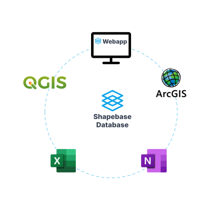
Shapebase

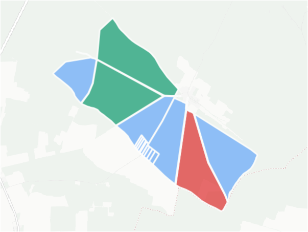
Renewables land acquisition

Secure land fast

Accelerate your land acquisition with centralised and synchronised GIS data. No more manual data processing, no more shapefile chaos. Just the right view of the right data from your tools of choice.

Land parcel map for renewables project development

Get the latest

Register to receive updates and feature releases from Shapebase.

Shapebase integration - QGIS, ArcGIS, Excel and OneNote data integration for renewable energy

Shapebase highlights

Track acquisition status: simple in the Shapebase web app
Integrate in your workflows: your data synced with QGIS/ArcGIS, Excel and OneNote
Land registry data & project sites: automated processing and error checking
One-click analyses: project reports, land parcel maps and lease calculations
Project overviews: available everywhere in real-time

Get early UK access

We're launching in the UK soon. Secure white-glove onboarding and data migration support by signing up for early access.